Read Time:3 Minute, 11 Second
Dushanbe, formerly Stalinabad, is the capital and largest city of Tajikistan. To celebrate the 20th anniversary of independence from the Soviet Union in 2011, the government embarked on a monumental building program that included a new presidential palace and a giant flagpole 165 m (541 ft.) tall. The shiny new center of the city is largely empty, contrasting with the full Soviet-era apartment blocks nearby.
The drive from Dushanbe to Khorog proved to be an arduous one. Our first shared taxi broke down in the middle of nowhere along the Afghan border. A passing driver attached a four-foot length of salvaged steel cable and pulled us to an isolated service station.
After taking the engine apart and putting it back together again, the car still failed to start. After three hours of waiting, the driver agreed to call another car, which would “be here in an hour.” Three hours after that, we were finally on the road again.
We drove all night long at a slow pace. Our driver had respect for this treacherous road. We took a break for our driver to catch some sleep. As the sun rose, I took a few shots of the dramatic valley. The river separates Tajikistan from Afghanistan. By now we were hours behind schedule, with no end in sight.
At this point, we had been in the car for over 18 hours and were still hours away from the destination. The dramatic scenery continued for miles and miles.
From Khorog, I made a short hop over the border into Afghanistan. I’ll detail this adventure in my next post. When I came back to Tajikistan a few days later, I hired a driver to take through some of the more remote areas of the country. We continued to follow the Afghan border along the Panj River. One of our most scenic stops was an old Silk Road fortress atop a hill overlooking the valley. The views of the mountains were fantastic.
Near the fort, we found a pleasant natural hot springs called Bibi Fatima. Men and women took turns in the hot water. At the back of the grotto was a small cave. Climbing inside is said to promote fertility. I passed.
Further along the road we visited a Buddhist stupa, evidence of the religion that dominated this region before the arrival of Islam
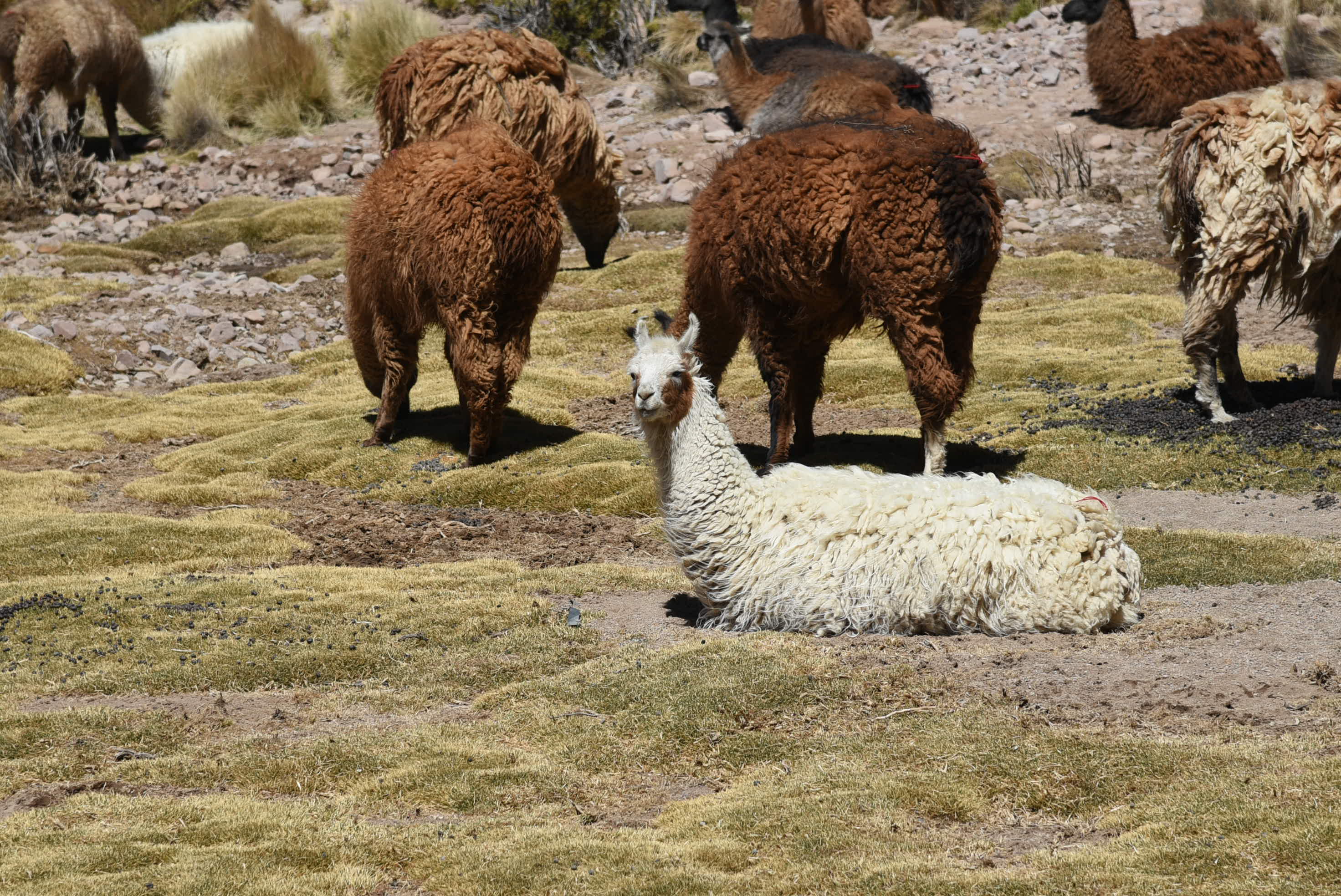
We then moved away from the border, passing through one of the most barren and deserted regions of Tajikistan. Near the point where we rejoined the main branch of the Pamir Highway, we visited Bulunkul village. The people here are small-scale herders who live in simple mud-walled structures.
After further overnight stops in the village of Alichur and the town of Murghab, it was time to leave Tajikistan. This time, our vehicle was a new Toyota Land Cruiser, much bigger and more reliable than the Mitsubishis that had brought us this far. We followed the dirt road to the top of the Ak-Baital Pass. I climbed up a little higher, finally reaching the altitude of 4754 meters (15,597 feet). So far, that’s the highest I’ve ever been.
One of the most beautiful places in Tajikistan in Kara Kul Lake, which shares its name with a smaller lake in neighboring China and a town in Kyrgyzstan. The dramatic summit of Lenin Peak rises in the background, and the shining blue waters stretch out on the edge of the town. But there’s one drawback – it’s absolutely infested with mosquitoes. They surround you in a cloud and never leave, biting at every square inch of exposed skin.
The border with Kyrgyzstan was only a short distance further. After a painless crossing and a few more hours of driving on pleasant paved roads, I was once again in the Kyrgyz town of Osh.

Happy
0
0 %

Sad
0
0 %

Excited
0
0 %

Sleepy
0
0 %

Angry
0
0 %

Surprise
0
0 %